The Central Ontario Loop Trail and GPX track (the file you can input into a GPS and follow the whole way) were put together by a guy named Miles Arbour by connecting a network of rail trails, ATV trails, gravel and dirt roads and a bit of pavement thrown in for good measure. All told, the route is around 280 miles and meant to be ridden over five days. Stubborn 'ol me thought I could do it in four...I have a feeling you, the reader, already know how that will turn out!
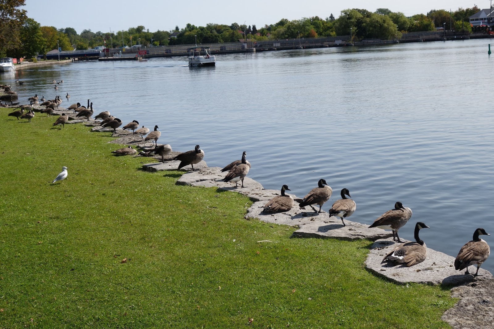
I took a couple days to drive up to Fenelon Falls, Ontario. It's a beautiful little town along the Trent River and a bunch of waterways. The route I would be doing would be along a large part of the Trent River and Lake Ontario. It was a chilly first day that didn't get above 55 degrees but once you got moving it was all good.

Revelate Designs makes some great bikepacking gear that is really easy to use and lightweight. So what was I all carrying in each?
- Handlebar harness - Inside the dry bag I had a compressible pillow, sleeping bag, camp towel and tent body (not the poles or stakes) along with some toiletries
- Top tube bag - Camera tripod and snacks
- Small bag along top tube and seatpost - Various tools, spare batteries for Garmin eTrex 30x
- Frame bag - Mini pump, lock, tent poles and stakes, spare tube, inflatable sleeping pad
- Seat post bag - extra shirt, clothes and shoes for off the bike, some other clothing, rain jacket
- Camelbak - 100 oz. water bladder, long sleeve shirt, merino wool quarter zip (lightweight but very warm), stocking cap and warmer gloves and things I wanted to keep on me all times like truck keys, cash/cards, passport, etc.
Pretty minimal setup. The route went through a bunch of towns so I didn't bring any food (other than snacks) and a camp stove.


Some of the rail trails up there are like the ones here. Smooth, graded and in great shape.

This is in Lindsay, Ontario. Canadian flag was everywhere due to the year-long celebration of Canada's 150th birthday.

While riding along the Trent River they have a lock system that allows boats to come through and it's really neat to see.


Other parts (the majority, honestly) of the rail trails are not like the ones at home. They aren't graded, have a lot of loose rock and are open to ATV traffic so they get chewed up and are rough. I had a decent number of ATVs pass me the first day.


It had rained a bunch this year and the trails are ridden more by ATVs so they can be in rough shape. I ended up turning around and heading back to the town right before this (about a mile back) and took some gravel backroads to hook back into my route.


This was the start of a fire route. They're unimproved roads and while this part wasn't fun (it's steeper than the picture shows and huge, loose rocks...I walked my bike up this) the rest was great. Just enough mud puddles to keep it fun and roads of packed sand.


I then entered the Garanaska Forest which began the real adventure for the first day. It started out innocently and was kind of fun. Packed sand roads which my bike handled well with the 3" wide tires.

Then...ugh. The next couple photos don't give enough justice to the difficulty level. With the rain and ATV traffic (these were pure ATV trails, not rail trails) it chewed up the sand to three inches of deep, soft sand and there were giant rocks throughout. Some grades up and down were greater than 10% which I walked since the bike kept coming out from underneath me and there were washouts over a foot wide and deep at times. This was slow traveling and a lot of hike-a-bike. I went about five miles in two hours.
Miles, who developed the route, ended his day after the Garanaska Forest and camped. I had planned on going to Coburg which was another 30 miles. I made it, but I got in later than what I wanted and was wiped and opted to get a hotel to recover.


Lake Ontario was a nice respite from the adventures in the forest.


The next day involved 30 miles on paved backroads along Lake Ontario and called the Waterfront Trail. It was signed the entire way. As I was leaving Coburg I saw in one of the city parks the start of a cycling event that was a fundraiser. I ended up riding with a lot of the pack for a while and met some really nice people. One person made the comment: "I'm not sure if I should be impressed you're keeping up with us on that type of bike with all that gear or disappointed in ourselves that you're keeping up with us." Maybe a little of both!


That's actually a road - Canal Road. Looks to be a nice one!!

Maybe not. I backtracked and went a different route.
Once I got back on track and through a town my GPS told me to make a turn into what looked like a random field. I wasn't sure what I was getting myself into.

I ended on some awesome singletrack and through a city park. Was a highlight of the day!


The Lower Trent Trail was also a highlight. A great rail trail that didn't allow ATV traffic so I knew it would be in great shape and I could make up some time.


That photo was taken along the Hastings Trail which was riding on softball sized rocks. My mistake of trying to ride too many miles in a day was catching up to me. I was still 20 miles from my camp, the light was fading pretty fast and I wasn't in a great mood. When I was researching the route before I went up I knew the Trans Canada Trail was close to where I was. I also knew the northern half of the loop I still had to ride was going to be rough and meant two more 75 mile days. I made the decision to ride the Trans Canada back to the start which took off 50 miles and would be easier riding. Ended up being a smart decision. Had I done five days and been more strategic with where I stopped each day I could have easily done the whole loop but I overestimated the pace I felt I could travel with the bike and setup I had. Oh well - learned something for next time!


Start of day three was great. Smooth trail and through a lot of farmland. Reminded me a lot of home.


Day three ended in Peterborough which was a good sized town and had some great places to eat. Also had one of the best city campgrounds I've stayed in and since I was on a bike they only made me pay $10 instead of the normal $35 for a tent site.
The next day was smooth sailing back to the truck in Fenelon Falls. A bit of climbing took me to a long trestle that was an awesome view over the tree line.


Until next time!